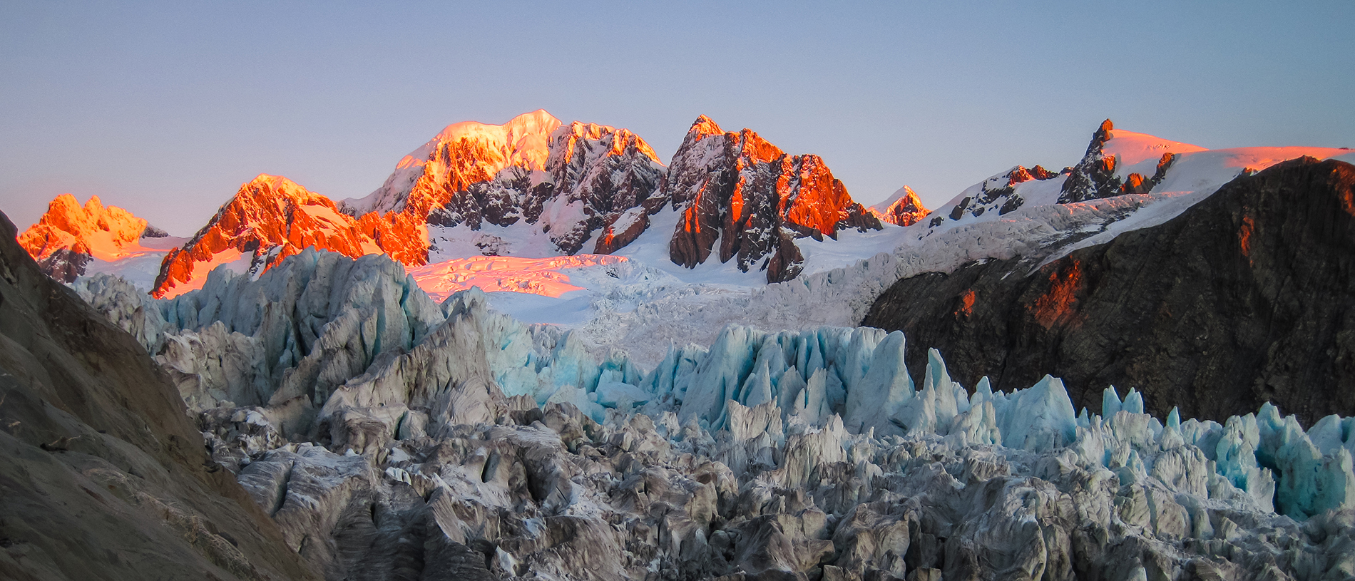
Westland Tai Poutini National Park: ancient ice
Westland Tai Poutini is an area of majestic primeval vistas: snow-capped mountains, glistening glaciers, forests, lakes, rivers and wetlands.
Fed by two lagoons and the Waiho River, this marine reserve forms a protective buffer for these waterways and wetlands.
It lies alongside parts of Westland Tai Poutini National Park and Te Wahipounamu South West New Zealand World Heritage Area.
The reserve extends nearly 11km south from Kohuamarua Bluff, near Ōkārito, to Ōmoeroa Bluff, and about 4km out to sea.
Moraine debris from the glaciers has created distinctive lumpy headlands along the reserve. Over thousands of years, gravel and sand have been swept north by the Westland Current, creating a buffer zone against ferocious seas.
Calm wetlands and lagoons have formed within this zone, creating an abundant and distinctive habitat.
The reserve itself protects 46 square kilometres of coastal sea beyond these wetland systems and a short distance up the Waiho River.

Boulder reefs support fish, invertebrates and seaweed which are typical of the mid West Coast, giving way to a sandy seafloor.
The beaches are gravelly and the seabed muddy, a result of runoff from the Waiho River and other waterways in this area, which are constantly fed by glacial flow through thick rainforest. Extreme rainfall events are reasonably common here.
Probably the most satisfying and simple activity in this marine reserve is a walk along the wild beach, observing the bird and plant life in the wetlands and coastal forest.
