Punakāiki Pancake Rocks: geological marvel
Funny that Māori should have had a word that sounded so much like the English word for ‘pancakes’.

Luxuriant coastal forest, limestone cliffs and canyons, caves and underground streams, and an absolutely spectacular coastline are all packed into one national park at Paparoa, on the South Island’s West Coast.
Punakāiki is best known for its pancake rocks and blowholes. It is also the centre for Paparoa National Park, 38,000 hectares of varied landscapes from mountain tops to sea level. The park is one of New Zealand’s more recent, established in 1987.

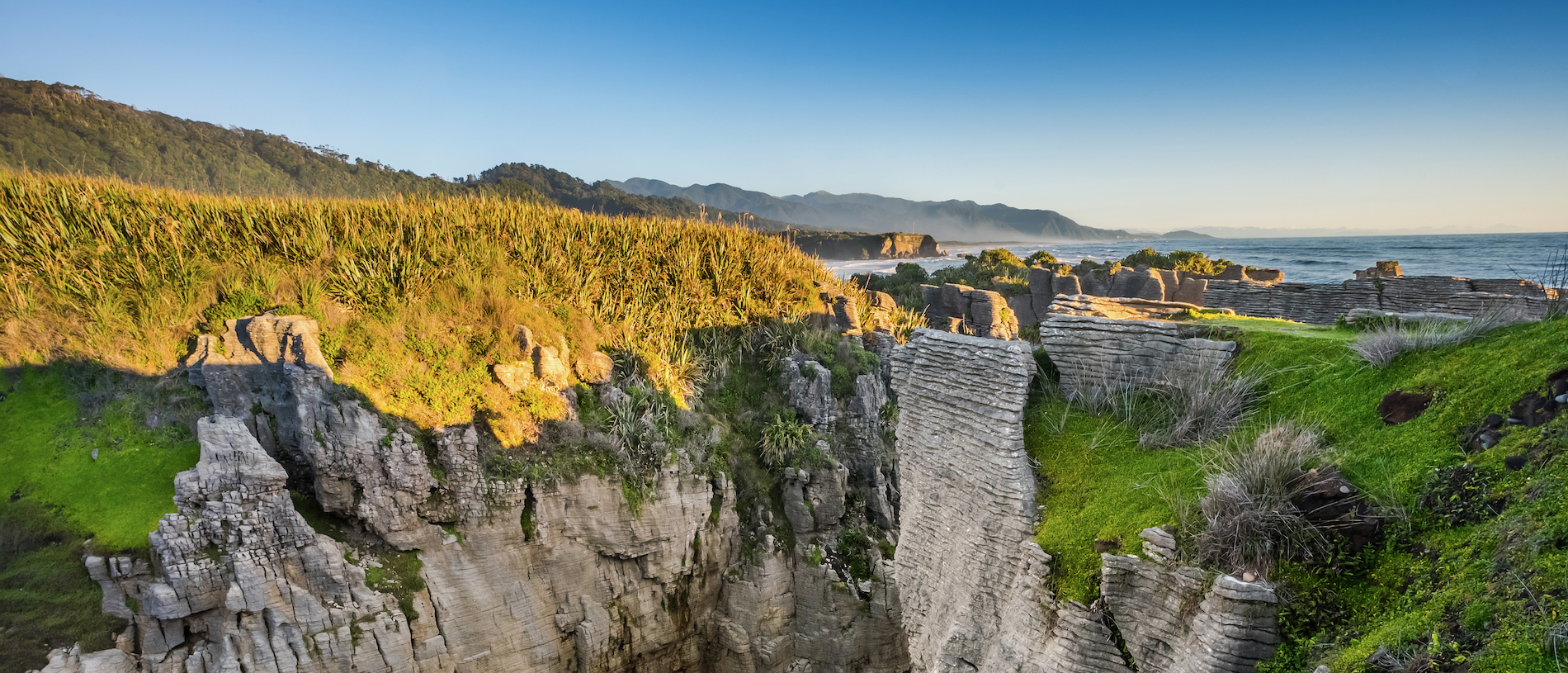
The Paparoa Range forms an impressive backdrop to the park, made of ancient granite which has been slowly shaped by ice into its present rugged outline. Limestone underlies most of the park and is responsible for the area’s amazing landforms – high coastal cliffs, impressive river canyons, delicate cave formations and the bizarre pancake-stack coastal formations that the area is so well known for.
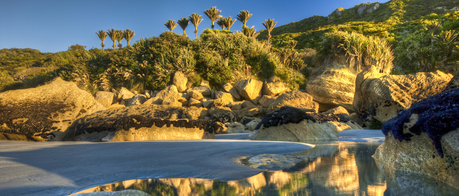
Vegetation within the park is wide and varied, due to the mild climate and high fertility. Near the coast, broadleaf forest dominates, with glades of exotic-looking nīkau palms giving a subtropical feel. Large rātā trees emerge above the forest canopy. Inland, the forest is made up of hard, red and silver beech, mixed with rimu and other podocarps.

Forest birds such as tūī, bellbird/korimako and kererū/New Zealand pigeon migrate seasonally between coastal and upland forests.
The Westland petrel/tītī colony south of the Punakāiki River is the only known place in the world where these burrowing seabirds breed. The birds live mostly out at sea, but during the breeding season, you can see them flying to and from the colony at dusk and dawn.
The nocturnal and secretive great spotted kiwi roroa is not often seen, but listen for a loud snuffling or a harsh whistling cry and you’ll know one is close by.
In 2015, Conservation Minister Nick Smith announced that the area of land around the ill-fated Pike River Mine, where 29 men were killed in 2010, would be added to the national park, and a new Great Walk, the Paparoa Track, opened there in 2020. The 3971-hectare extension to the park includes the catchment of the Pike Stream from the top of the Paparoa Ranges.

It’s a 20-minute walk from the main road to view the fascinating pancake rocks, formed 30 million years ago from minute fragments of dead marine creatures and plants that landed on the seabed about two kilometres below the surface. Immense water pressure caused the fragments to solidify in hard and soft layers. Gradually seismic action lifted the limestone above the seabed, then mildly acidic rain, wind and seawater sculpted the bizarre shapes. The three blowholes at Dolomite Point put on their best performance during a southwesterly swell at high tide.
Behind Punakāiki, just off the coastal highway, there are accessible limestone caves – a wooden stairway gives access to 130 metres of safe passages within the Punakāiki Cavern, with a few stalactites and the odd glow worm. The Fox River Cave can also be reached on foot.
There are many other walking tracks within the park, including the Truman Track, Pororari River Track and Ballroom Overhang Track, which has some of the finest limestone features of the park.
The Inland Pack Track takes two to three days, with numerous river and creek crossings.
If walking seems a bit hard, kayaking on the Pororari River is a peaceful way to soak up the ambience of the park. Highlights include a dramatic limestone gorge and bird-spotting in the rainforest.